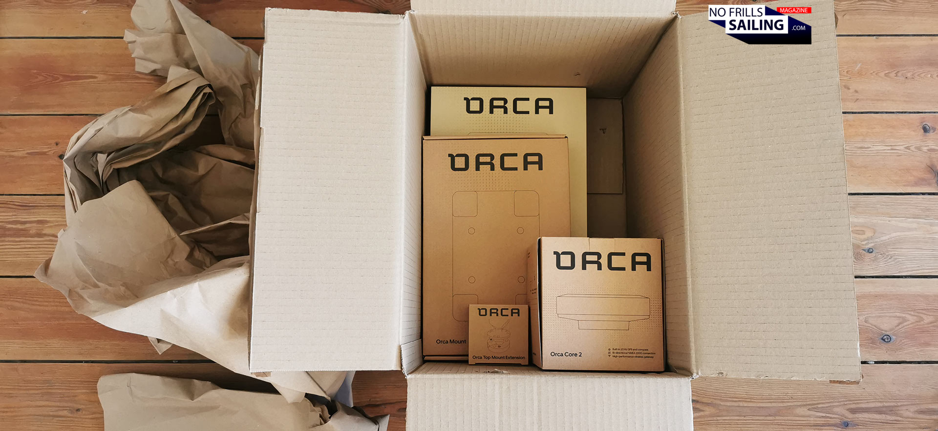
It´s always a nice feeling when your doorbell rings, isn´t it? Probably a friend coming over. Or DHL with another nice delivery. Last week it was the latter. A very special and eagerly awaited parcel: The complete package of Orca products arrived! So this time reading about „an Orca“ should be very satisfying as the original namesakes aren´t necessarily making nice headlines these days. Of course, I am not talking about the large ocean predators here, you´ve already guessed it.
A big parcel arrives: Orca is here!
Orca is a relatively new brand founded in 2020 by Norwegian, German and Spanish enthusiasts. Their aim: No less than catapulting marine electronics and yacht navigation into the 21st Century. There are similar products on the market, most widely known is Sailproof. The reason I went for Orca? It just felt like it was the better package. In this article you are going to unbox the big parcel with me and we will have a first thorough check of the Orca products.
How do I want to navigate?
Advertisement
Now, you may ask yourself why there´s such a hustle and buzz about a seemingly easy to answer question? As you may know, I am just getting my dream yacht built. It´s a very rare chance for me to have perfectly tailormade and customized „one-off“ solution for me here. This is why I am scrutinizing every single paradigm and „matter of course“ we are so fond of. Do I really need to go the classic way? Do I have to take what we all have taken all the time? Like I did with the galley, for example. I am questioning sailing and how I want to sail my new boat in every detail. In this, how I navigate is one of those questions.
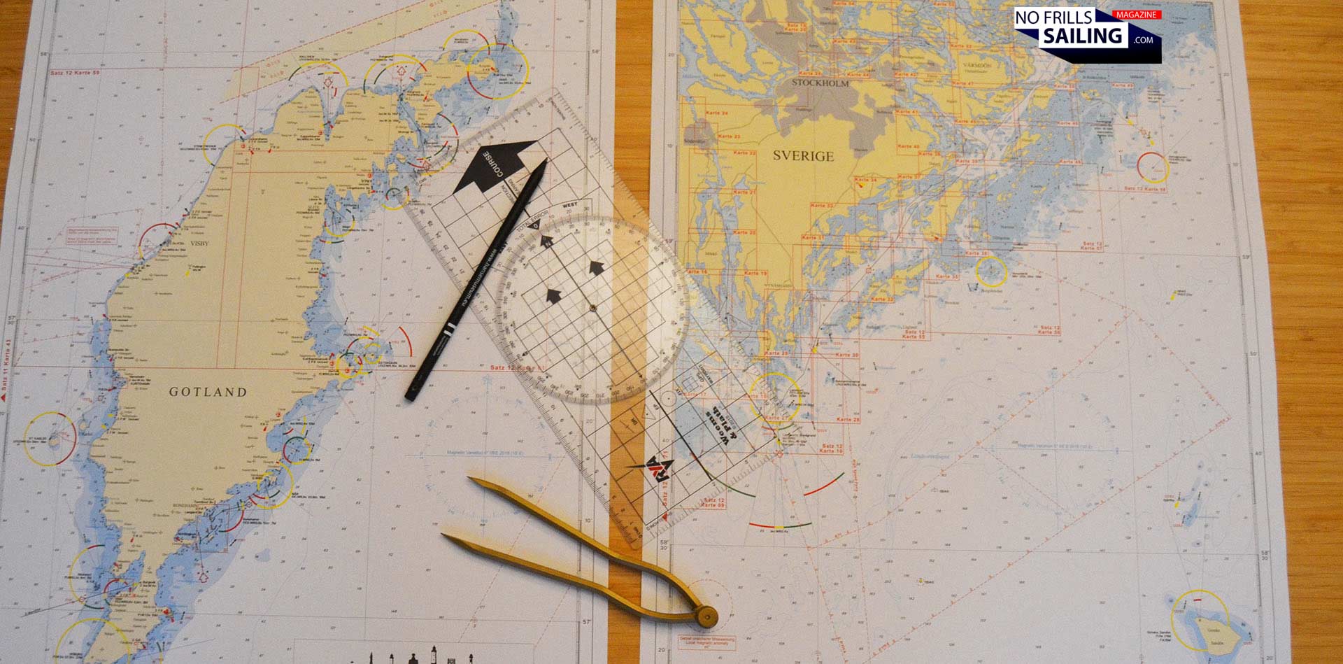
Are printed naval charts still a thing?
I am a fan of paper charts. I use them when planning my trips. I also have my position marked on paper charts every 2 hours when on longer sailing adventures. As thorough seamanship demands it. But: More and more printing firms stop their business, last of those was Imray, announcing to phase out printed naval charts in 2024. Of course, most of navigational tasks on modern boats nowadays are solved digitally. There´s no boat sailing the seas without zeroes and ones flying around. Up to know, most of which are sent and received by electronic chart plotters.
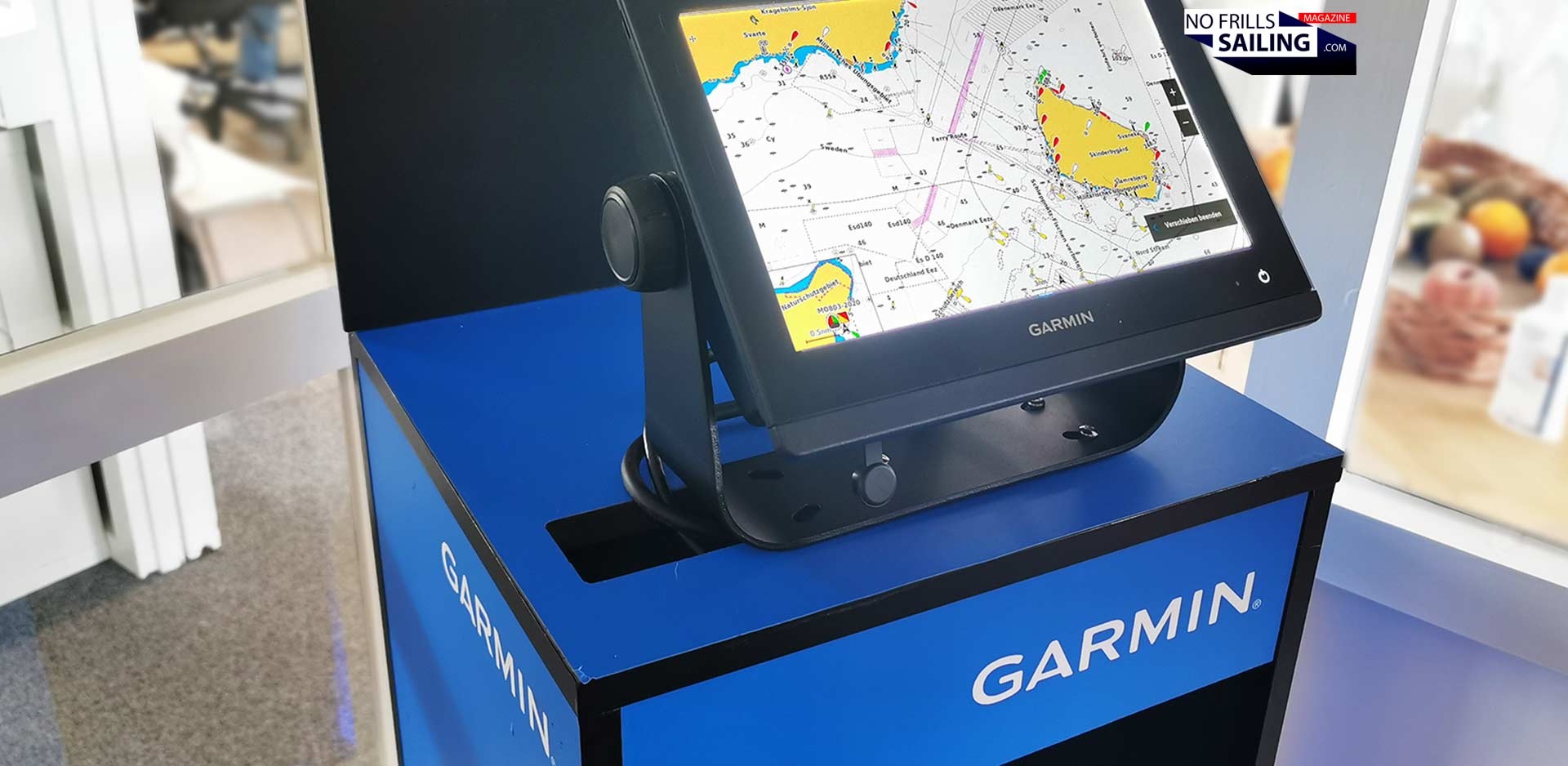
Why a chart plotter is a no for me
I´m honest: As I went for Garmin electronics for my new boat, I was sure of getting a classic touch-plotter myself. But here´s the problem: I have been working as a boat dealer for the past eight years and delivered exactly 100 yachts myself. Most of them being equipped with plotters. This technology … just feels kind of dated. Many times slow, made for single-purpose only and rock solid fixed mounted. To utilize the words of the Orca company founders: „They feel like car navigation systems of the early 2000s.“ I agree. So, for me, there´s a technological issue. But also, very individually, putting a classic electronic chart plotter onto such a beautiful boat like my Omega 42 is just plainly … wrong.
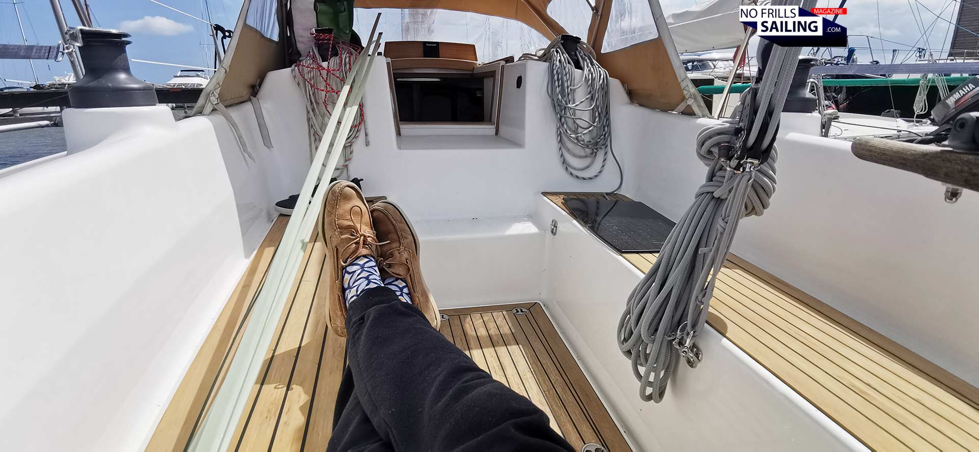
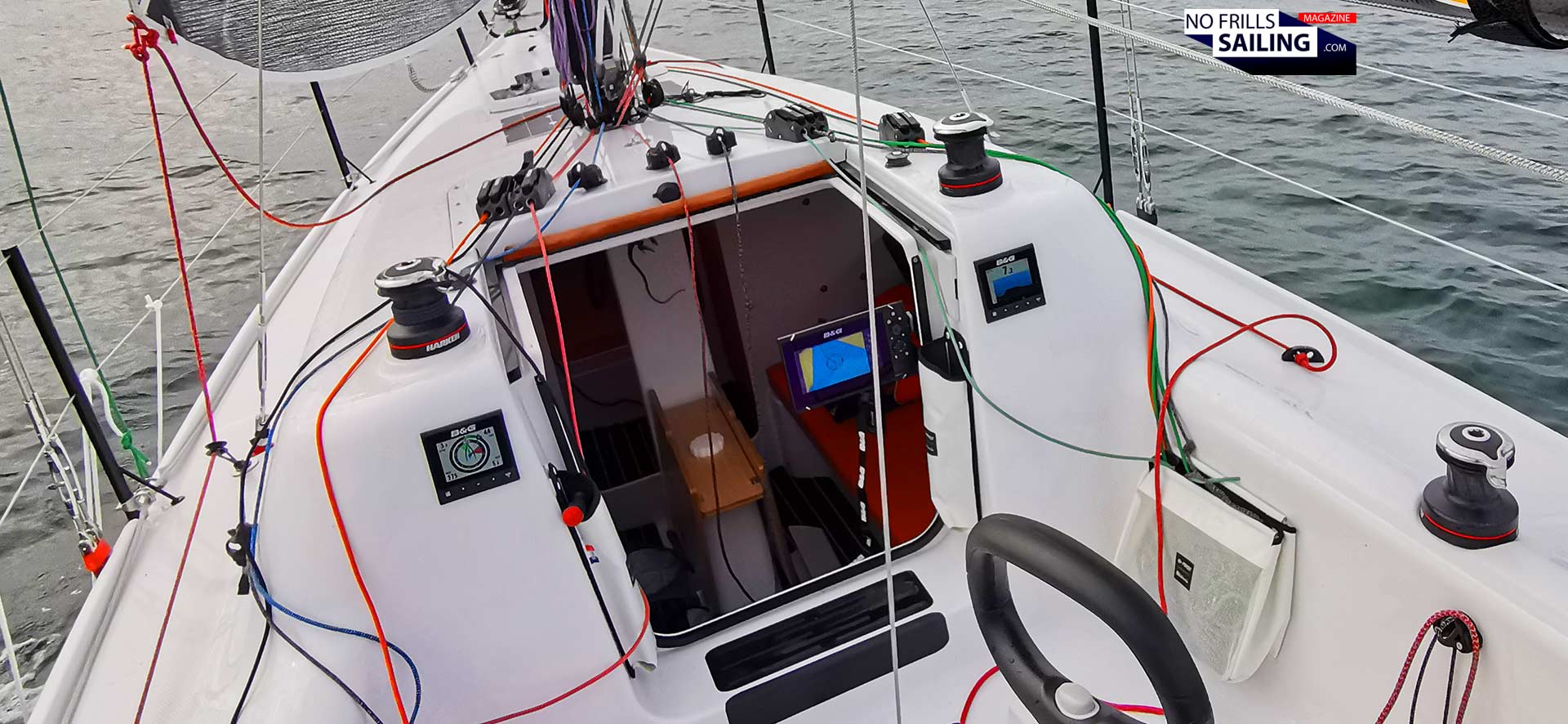
Electronic navigation equipment aboard my Omega 42
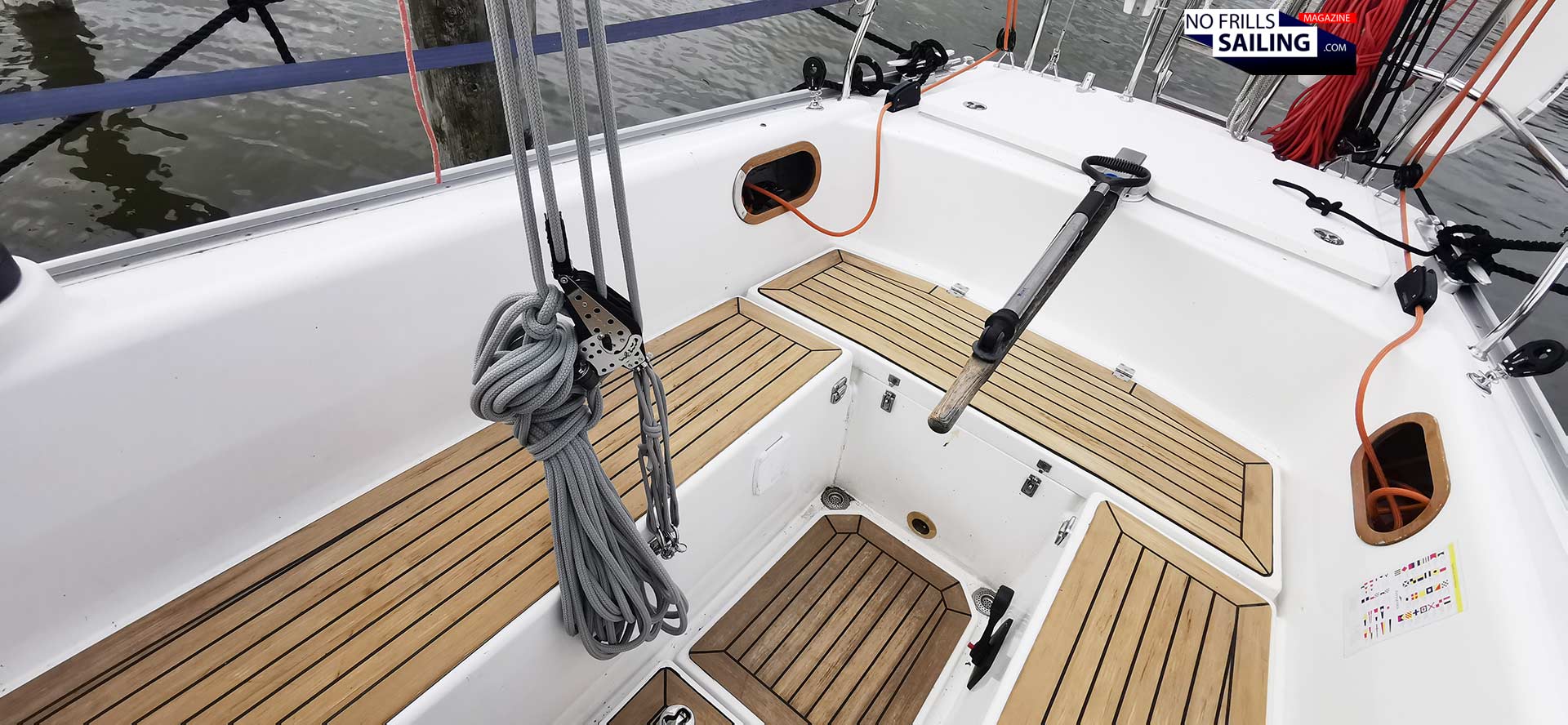
I mean, look at the cockpit of this yacht: It would be an absolute sin to cut large holes into the GRP to fit a plotter! The nice deep cockpit works just fine as a cozy backrest: I know that a mounting position like this from boats I have sailed myself. It´s a pain in the ass to have your back on the plotter display! Also, the distance in the Omega 42 cockpit from the tiller to the front near the companionway or – much worse – to the wooden display-panel above the sliding entryway cover is just too long. Even if there was a chart plotter – I could barely see what´s on the display! Not to mention that it´s just impossible to use the touchscreen with my own fingers and steering back there at the same time.
I want my Omega clean
So, both from aesthetic and practical points of view, installing a classic electronic chart plotter is a clear „No“ for my boat. Apart from these very individual reasons, in times where I can basically control everything with my smartphone and a corresponding application, having those single-use devices on board just feels … dated. That is also why I named this first Orca-article „Death of the chart plotter“, because it kind of feels like we are in the midst of a truly profound digital revolution in boating.
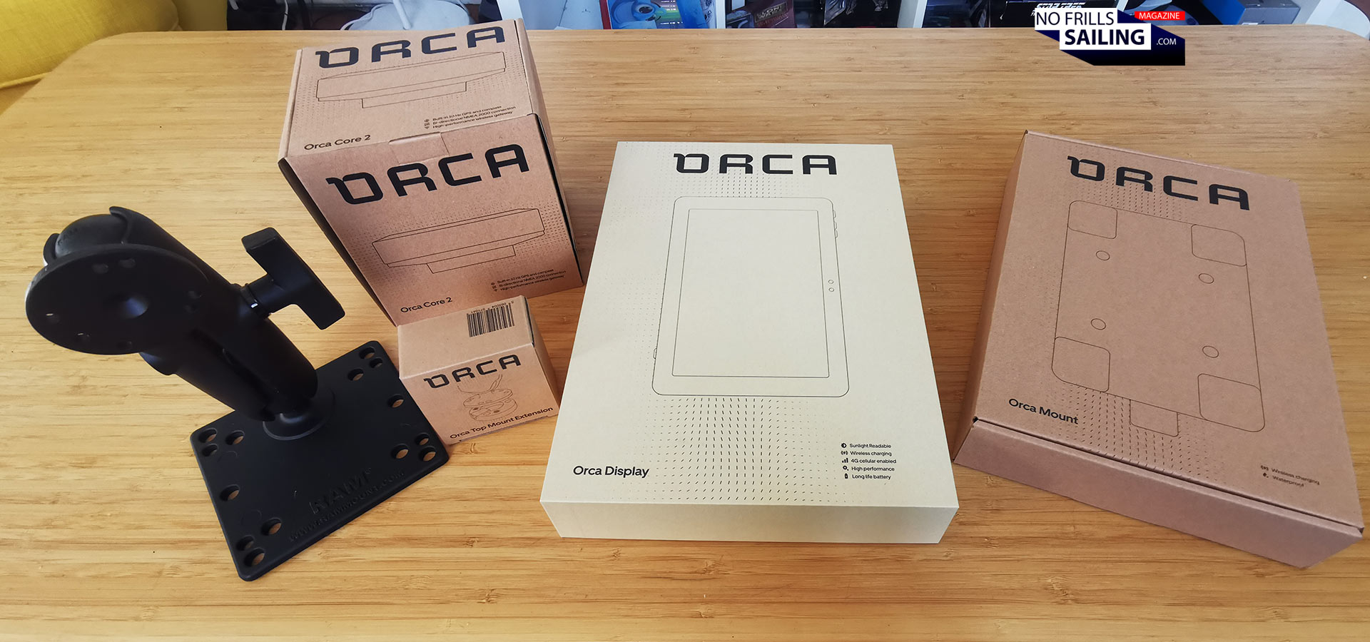
Unboxing the Orca
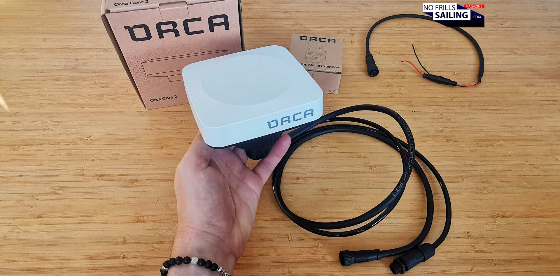
The nice thing about Orca is that it is a true fire-and-forget solution, very intuitive, but also modular. The product basically consists of two major hardware devices: The tablet, called the „Orca Display“, and the „Orca Core“, which is a device that has ist own – very accurate – GPS anntena and compass. Later more on that. The big package containes also some auxilliary hardware. That´s above all a charging device and a mount. Also, later more on these parts.
All you need: The Orca product-family
Buying the whole package will cost you around just under 2.000 Euros incl. VAT. Now, check current pricings of chart plotters. The smallest Garmin plotter needs a budget of around 1.000 Euros – but that´s just a 7 inch display. The Orca comes with a large 10 inch display! A corresponding Plotter will be around 3.000 Euros … without charts! Does it start to become interesting for you? That´s what I say.
Tablet navigation: The Orca Display
Let´s begin by having a thorough look at the display divice. Tablet-based navigation is nothing new, you might think. And you are right. I know a lot of sailors who have utilized one of their dated old iPads or retired Android tablets, put the Boating-app or any other navigation app onto it and that´s it. Well, it´s perfectly fine to do it, but in terms of display brightness, waterproofing, battery life and ruggedness the Orca is far, far superior to all of your old tablets for sure!
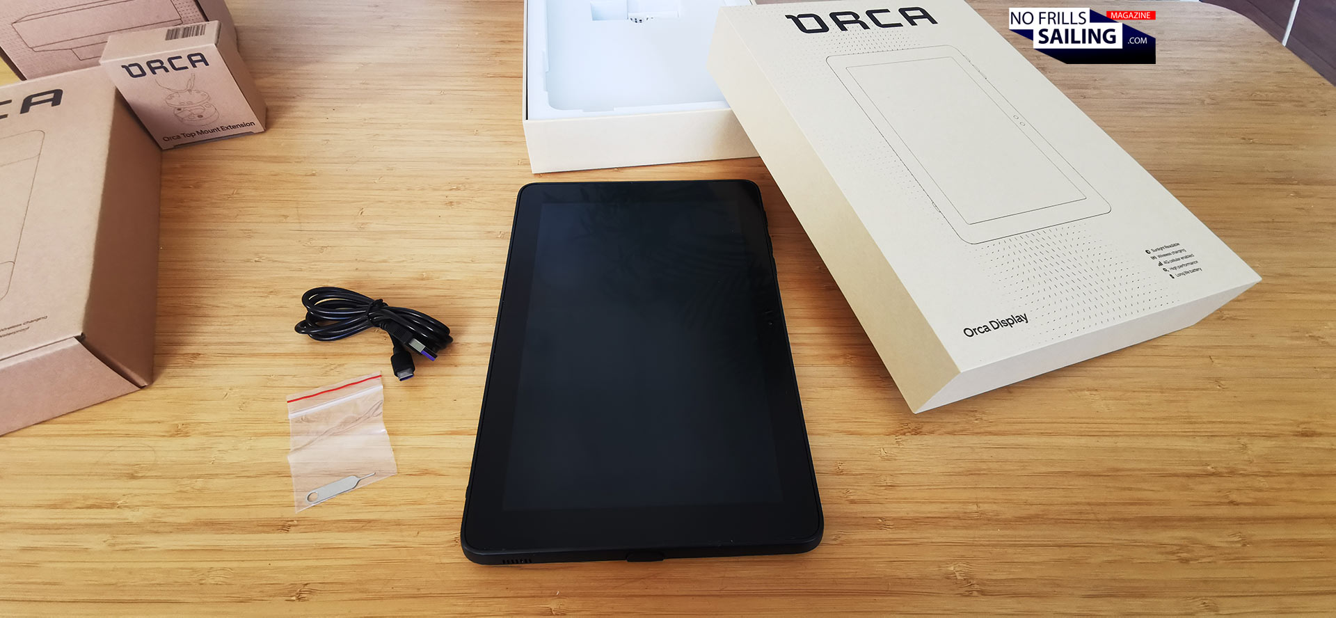
Unboxing the Orca Display
It´s the latest in terms of tablet technology: Such as 2.2 Ghz 8 Core CPU- and 1.1 Ghz Dual Core GPU-units, 4 GB RAM which make routing, calculation times, loading and using the tablet the fastest on the market right now. Heat is also a problem underway as sunshine will make your finger tips burn: I have experienced it myself, chart plotters out in the open sun will get pretty hot! The Orca Display is rated to even work in temperatures of up to 55 degrees Celsius. But enough with bare data: Let´s switch it on!
Easy set-up. VERY easy.
I know very well how annoying and often frustrating a new gadget can be: Many pages long consultation of a manual or a 30-minute video tutorial? Setting up such complicated devices can (and often have) make you go nuts. Well, not so with Orca, as I was about to find out myself right away.
The Orca Display setup
I unpacked the Display, hit the power-button and was astonished that battery had been at 100 per cent right away out of the package! It took a few seconds to boot and then it came to life. Choosing my language and connecting the display to my home WiFi-network was all I had to do. A quick, easy step-by-step guide led me through the basic installation. Here´s a new thing: You can use the tablet on and off your boat: That means, digital route planning or statistics after a sailing trip at home is no problem anymore. Just as you do it with your smartphone, you only have to connect to various WiFi internet connections. For underway, when in cellular range, a built in SIM-card reader can connect your tablet directly with your provider or, when installed, you just switch to your onboard Starlink- or Iridium-internet.
A quick onboarding
One of the initial steps for „waking up“ and personalizing your Orca Display is the connection to your Google account. If you want, you can do it: And use the full range of digital apps available. This is another thing your ordinary chart plotter can´t do: Bingewatching your favourite Netflix-show during a rainy day in the harbour or have a quick online game? That´s no problem. As the device isn´t installed on a fixed position (meaning: on the steering post at the helm station outside in the rain on the aft deck) you can use the Orca as well down below, in the saloon, your cabins or even in your bathroom – or just to check a YouTube-recipe for the crew´s evening meal …
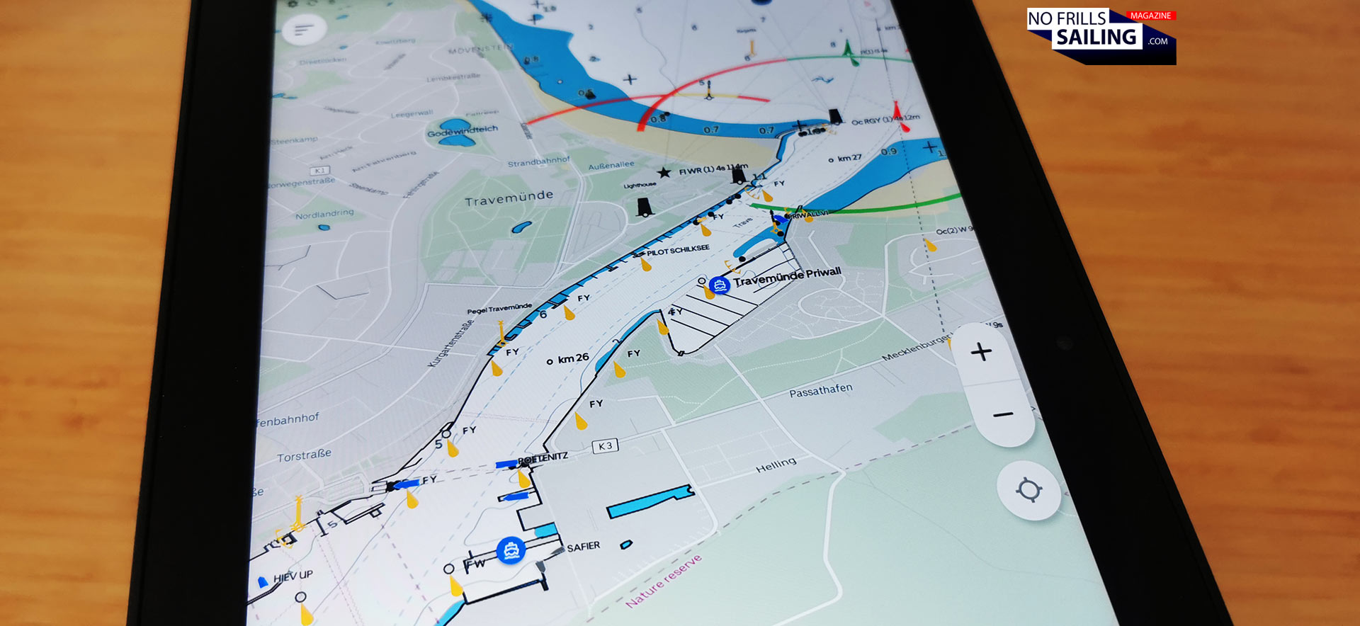
Checking chart info-depth & details
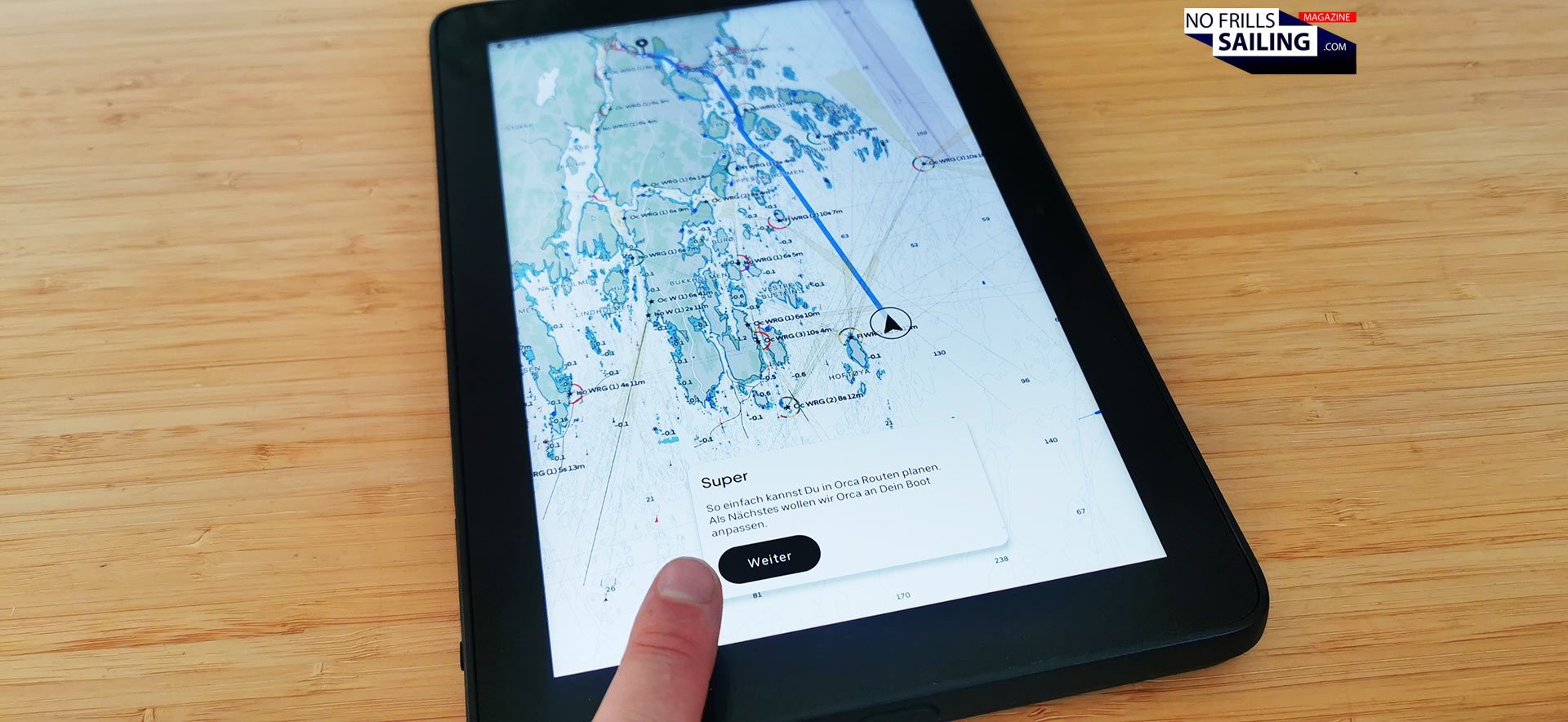
Heart of the Display, of course, is the navigation app. Even without having connected to the Core 2 it immediately homes in on my position and loads the chart. The design of the Orca charts is intuitive, a bit restrained when it comes to colors. Navionics-charts for example come with much brighter and more „aggressive“ colors. Such as yellow for land masses and much more grades of blue for the different depths of the water. Pastel colors, a bit more „lower toned“, for Orca: I like it very much!
Different display formats
You can go into the settings very easily, for example, about your preferences in units and measurements, but also regarding your boat. Minimum draft, maximum mast height and such. This will be important later for the definition of alarms in shoals or when passing underneath bridges. All very easy, very quickly set and – best of all! – without having to read through a manual or watch boring video-tutorials.
A complete substitute for chart plotters?
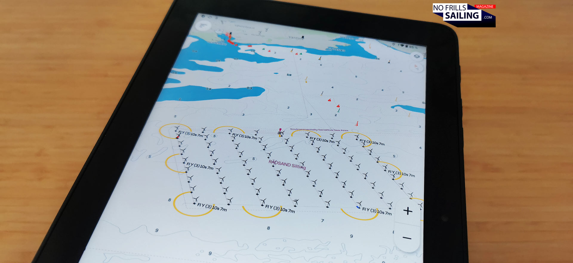
I start to „plan“ my first routes with the Orca, which is a no-brainer. With a literal tip of your finger you define the destination you want to sail to and tell the device to calculate a route. Taking into account your draft and other parametrics, the system will come up with a finished suggestion of where to sail in seconds. Voilá. As it also retrieves latest weather data or wind speeds. It will be interesting to see in a second step if a complete weather routing can be done, of which I am pretty sure: Windy, Predict Wind and other apps can be run on the display, as well as other marine apps and websites.
From reality …
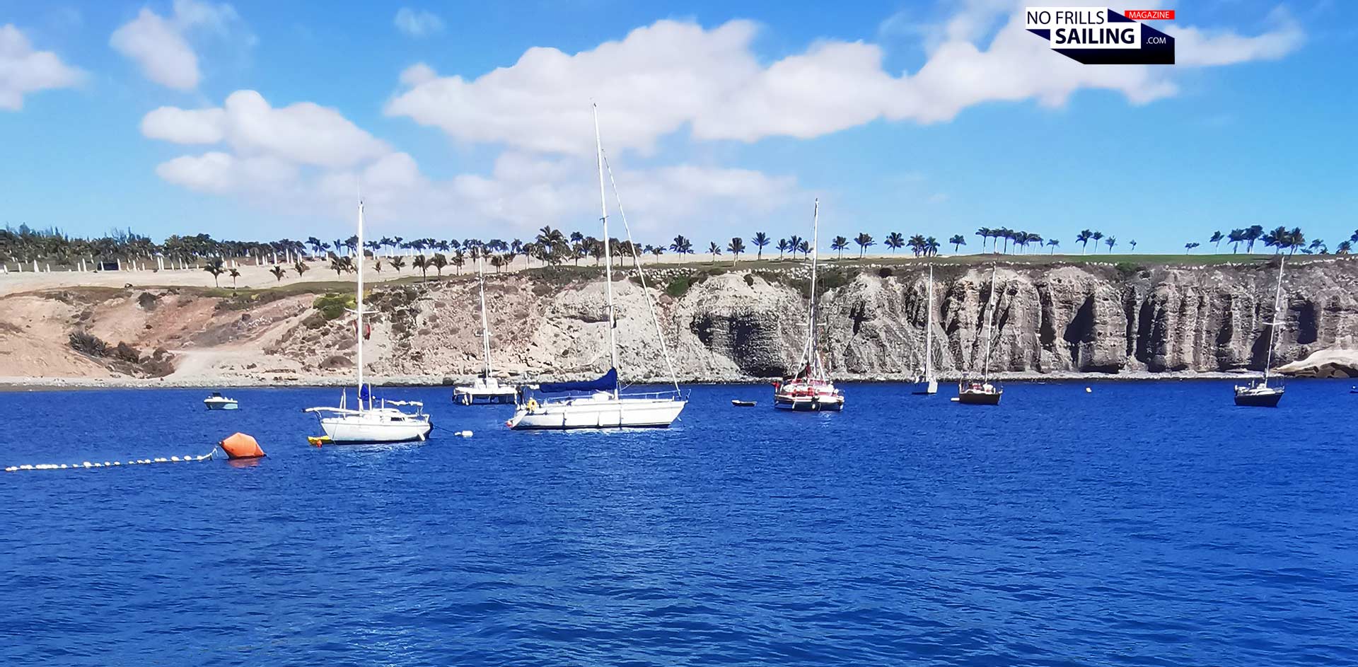
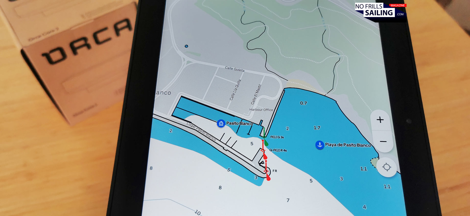
I just returned from a few days on Gran Canaria with my family. Pasito Blanco is one of my most beloved little marinas there as it also has one of the rare anchorages of the Canaries. When I will – and I will! – be sailing my Atlantic Loop at last, dropping my anchor here is a sure thing. So, I know this place in real life from various vacations (picture above), but how does it look like on the Orca? I´m checking the depth and richness of informations …
… to the digital map
Thanks to the level of info – and I´ve checked some more places I know fairly good in reality – the chart quality provided by Orca appears to be very high. As the GPS is promised to have a 50 centimeters position accuracy, my new Orca digital anchor watch will make for a good night´s sleep for sure. Even though I haven´t discovered even the first 5 percent now of the Orca´s potentials, even after playing around with this device on my home sofa for just an hour now, I can safely and with absolute conviction state that the Orca system does indeed substitute the classic electronic chart plotter! For me personally the decision to go for this tablet-based solution is a sure thing. And there´s even more to it …
Independence and mobility aboard.
The fact that you can take the Display and put it where you need it is a game-changer. When steering, I take it with me to the back of the cockpit. When sailing, I put it to a location where I (and maybe other crew members around me) can see it as well. In this, I am looking for a solution similar to the chart plotter swinging mount on my last boat, the First 27 SE GEKKO: There, a 7 inch B&G plotter had been fitted to a swinging arm.
Looking for a solution like this …
As on a small boat like the First there was no place to have it mounted permanently, this was the best and most clever position. You just swing it back when you don´t need or want to pass down below. Swing it back to look at it when entering an unknown harbour or berthing. A similar solution can be achieved with Orca too. That´s why I ordered the mount too.
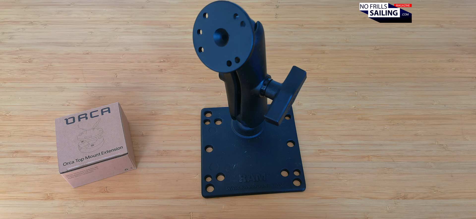
Massive: The charging mount
This black anodized arm feels heavy: A sign for ist ruggedness and heavy quality. A screw loosens or tightens the arm which is connected with two globe joints onto the base and the Display. In this, the tablet may be rotated in every possible direction to face exactly where you are. Not you have to go to the display, it will always have the best angle to be looked at with this piece of equipment. Now, a second device comes into play: The charging device.
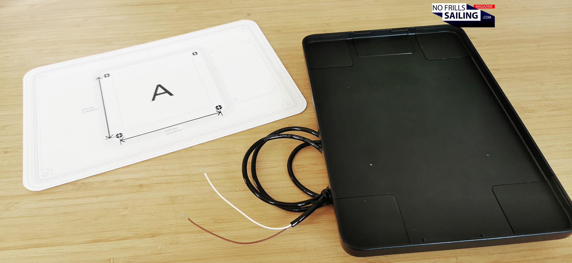
Orca accessories: The charging station
Although the built-in Li-Ion battery is said to provide enough energy for a staggering 8 hours of active navigation, you may want to recharge the tablet occasionally or have a permanent current source. By connecting the mount with the charging device, you achieve both. The waterproof and shock-resistant charger is connected to the 12 Volts circuit of your boat thus providing constant energy. 25 Watts of charging power will make for a pretty fast refill even when the charging device will be mounted down below – something I am thinking of.
Connecting the Orca with the local NMEA 2000
Up until now, it´s already a pretty powerful set-up, right? And honestly, I was exhilarated and thrilled, happy to have chosen this product right away on my home sofa. And it´s not even built into the boat! Back to my parcle. Well, you may use the Orca Display as a stand-alone solution for your boat. And many do: As a redundant backup system in case their primary network goes down for some reason. By opting to take the Orca Core 2 you can enhance it – and make your Orca „talk“ to your boat.
Getting out the most: Orca Core 2
This little, light, white device contains a very accurate GPS receiver, a compass and electronics. Feeding the position and other data directly into the Orca tablet makes it much more accurate and faster. The Core 2-system also connects directly to the NMEA 2000-netword. This now comprises all data provided by each sensor of your boat´s system. That´s depth and other data from the log, wind speeds and other data from your mast-top and such. Any connected sensor. This may be the last nail into the coffin of the chart plotter.
Advertisement
Agile, redundant and cost-effective
So, for me, even now before I have witnessed the whole power of this system myself on my own boat, it is pretty clear to me that this wasn´t only the right choice for my own new and very special boat, but that Orca (and admittedly the other tablet-based interconnected systems on the market as well) is doing no less than starting a revolution of marine electronic navgiation! The system is way cheaper, can be used for a much greater variety of tasks, it is location independent and as such best suited for a boat. It will be very interesting to observe how the big brands like Raymarine, B&G or Garmin will react – as well as the shipyards.
Where to mount a plotter here?
For me, next step will be an actual on-site survey in the shipyard where my boat is currently under construction: Defining the very locations where to fit the Core 2, the charging device and the swinging arm. Having a dress rehearsal how Orca performs aboard an actual Omega 42 under sails is scheduled for April when my boat´s sistership will be back in the water – I´m going to do a real-life test of where putting the system´s components, be it on deck in the large cockpit or under deck at my mini chart table. For now, I switch off the Orca and smile brightly: This is absolutely well spent money! Check out their website for more product-info.